








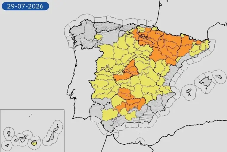
Technically, the fourth heat wave we are experiencing this summer, and in 2026 in general, begins tomorrow Wednesday but as Rubén del Campo, spokesperson for the State Meteorological Agency (Aemet), points out, it is already going to be very hot this Tuesday: “We have orange warnings, for example, in the Basque Country, in Aragón and in much of the center and south of the peninsula because today temperatures will already exceed 37 to 39 degrees in the north, and 40 degrees in the center and south,” he says in a phone conversation.
Read more This is the progress of the fires in Ávila, Madrid, and Castellón, explained in charts
The respite that the high temperatures have given us has barely lasted four days, as the previous heat wave lasted during Tuesday, Wednesday, and Thursday of last week, creating conditions that have favored the dramatic situation of forest fires that Spain is experiencing.
The heat wave starting Wednesday, Del Campo details, will also affect the Canary Islands, and it is expected to be longer than last week’s: “Maybe it is not as intense a heat wave as the one we had in June, but it does seem that it will be lasting, with high temperatures sustained over most of the Peninsula and the Canary Islands, at least until Sunday,” he notes.
Although it is still early, the meteorologist considers that it is not only not unlikely but probable that it could extend beyond the weekend. “What we can say is that it will last at least until Sunday but it is likely to extend for more than five days.”
Scorching nights
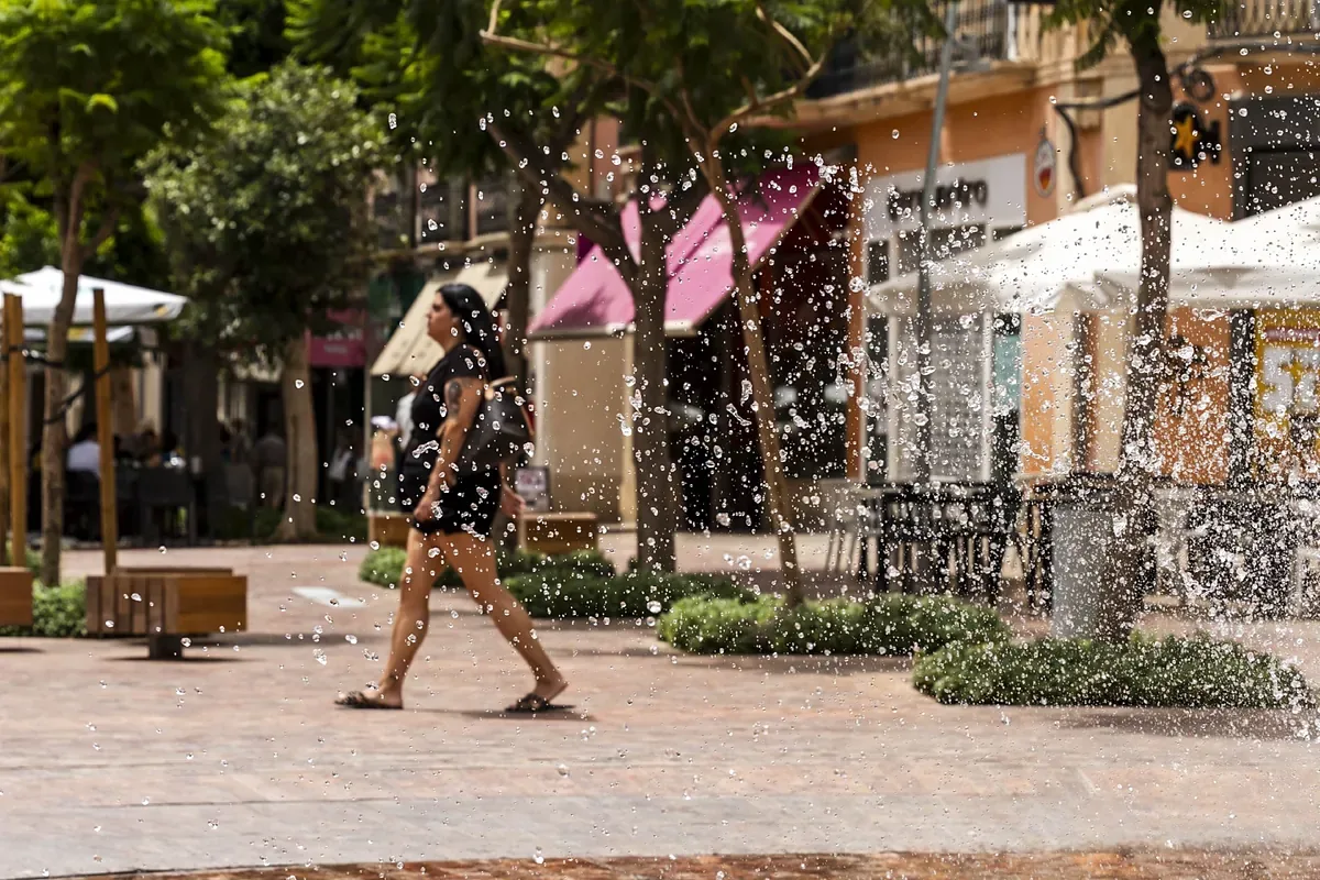
How high could the thermometers rise? “It depends on the areas, but in general, the highest temperatures, especially from tomorrow Wednesday and during the following days, will be around 40-42 degrees, especially in areas of the Ebro Valley, the Guadalquivir Valley, and the Guadiana. Occasionally those 42 degrees could be exceeded, even locally reaching 43-44 in specific spots of these valleys. And at night we will have very warm nights, especially in the Mediterranean, in areas of the center and south, where temperatures will not drop below 22 to 24 degrees, and occasionally there will be some scorching nights, which are those where it does not drop below 25,” he details.
With several large fires active for days, the wind forecast that is causing so many problems for the firefighting services is especially concerning. The forecast given by Del Campo is not positive: “If we focus on the level 3 fire area, the one we have in the center of the Peninsula, from midday today the wind speed will increase, wind from the south. It will not be a very strong wind, nor hurricane-like, far from it, but there will be gusts blowing at about 35 or 40 kilometers per hour and they could hinder firefighting or somehow spread the fire more. And this wind will also repeat tomorrow Wednesday,” warns Del Campo.
“The wind will be the factor that worries the most when tackling the fire, beyond the fact that intense heat, of course, will not help and low humidity neither. But that wind is an additional component that will make firefighting more difficult,” he notes.
Read more Treatise on Good Manners for a Catastrophe
Regarding the Castellón area affected by another serious fire, that of La Vall de Uixó, which has already devastated more than 8,500 hectares, “wind is expected, but more humid because it will come from the sea. However, wind always complicates,” warns Del Campo.
The minimum temperatures expected over the next few days will not help either, as they will be high in the areas most affected by the fires. As the Aemet spokesperson explains, warm nights, in which the temperature does not drop much, prevent humidity from rising: “When the temperature is very high, humidity is low and vice versa. And this, in the end, means that vegetation remains very dry also during the night.”
Unfortunately, there is no rain in sight that could facilitate firefighting: “This week we will have very little, if anything, in the Cantabrian region, but it will be negligible. And if storms form, it will happen in very isolated areas, and they might be dry storms, with the possibility of lightning, so they could complicate the fires.”
THE GOVERNMENT WILL CREATE A SCIENTIFIC PANEL TO ADDRESS CLIMATE CHANGE
The Council of Ministers approved this Tuesday the agreement to establish a Scientific Action Panel on Climate Change. As detailed by the Ministry of Science, Innovation and Universities, it will be dedicated “to providing independent, rigorous, and multidisciplinary analyses in response to the needs raised by government departments and will strengthen the integration of expert knowledge in public decision-making.”
Among the functions assigned to the Scientific Panel are “the development of scientific evidence reports and proposals for action protocols; answering questions to inform public policies in normal situations and during crises and emergencies, as well as developing future scenarios derived from climate change.”
According to the Government, the scientific personnel who will make up the panel will be selected through a process that will be open during the summer. The goal is for it to be configured and begin its activity in the fall.